Category Learning

Game Rules

Safari013

Not how to play, nor how to play with style.
Rather, how to keep our stylish play in-bounds.

Link    2012 VUSBC

Link    2009 IBC Commentary  (No Virginia amendments)

Link    Charlottesville Current Codes and Design Criteria


Design criteria for our area – 2012 values

CategoryValue
Ground snow load30 psf
Wind speed 90 mph
Frost depth 18”
Seismic Design ClassB
WeatheringSevere
TermitesModerate/Heavy
Decay Region Slight/Moderate
Winter Design Temp16° F
Air Freezing Index273
Mean Annual Temperature56.8° F


Energy criteria for our area – 2015 residential values

Building ElementRequirement
Ceiling R-value49
Wood Frame Wall R-value15 or 13 + 5
Mass Wall R-value
when >50% of insulation is on the exterior of the wall
8
Mass Wall R-value
> 50% of insulation is on the interior of the wall
13
Floor R-value19
Basement Wall R-value
R-10 continuous on the inside or outside of the wall, OR
R-13 cavity insulation on the interior side of basement wall
10/13
Slab R-value10, 2ft
Slab R-value if heated15
Footing depth2 ft
Crawlspace Wall R-value10/13
Window U-Factor0.35
Skylight U-Factor0.55
All glazed fenestration SHGCNR
SHGC.4

Antitesselationism

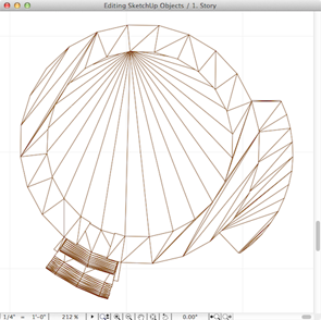
A skilled GDL scripter is capable of producing amazingly clean objects, but the catalog of clean GDL objects is not as deep as one would like it to be. (See the sidebar links here in bd-MAP for access to some of the GDL catalog.)

So we rely on third-party catalogs from time to time, but the objects are often polygon nightmares. AC 16 has a new tool and a new way to clean them up.

Clean is good.

AC Studio: Mesh

Highlights today:

  1. Change the custom text of a dimension string to reference their distance from datum model elevations, for example, sea level, or project zero. Bonus: how to change the datum reference of all placed spot elevations globally.
  2. Set the corner and perimeter elevations of meshes first.
  3. Don’t use curves in meshes to keep the polygon count low. This is a corollary of our general rule to keep the node count as low as possible with a mesh.
  4. How to use custom data elevation settings when establishing mesh elevation parameters (sea level, project zero).
  5. Import pdf site info into the model via a worksheet, and view in the model environment by means of trace reference. Otherwise you will need a dedicated layer for each new imported document. Not the end of the world, but using worksheets to keep imported alien data organized is a sound practice.
  6. Cut and Fill calculations: make a copy of the existing terrain, develop the earthwork design on the copy, then use the element info palette to compare cubic volume of the two.
  7. Use gravity to place level dimensions to a mesh surface, as you would with other objects.